Používáním těchto stránek souhlasíte s ukládáním souborů cookies na vašem zařízení.
Nové hrady - Pyhrabruck - Höhenberg - Unterlembach - Dietmanns - Gmünd - České Velenice, Andělský vrch - České Velenice - České Velenice, Josefsko - Nová Ves, Krabonoš - Halámky, hraniční přechod - Kunšach, Spáleniště - Rapšach - Na rozcestí - Dračice - Nová Huť - Františkov - Klikov - Tušťský most - Suchdol nad Lužnicí - Tři Facky - Hrdlořezy - Dvory nad Lužnicí - Hranice - Blata - Jakule - Byňov - Nakolice - Vyšné
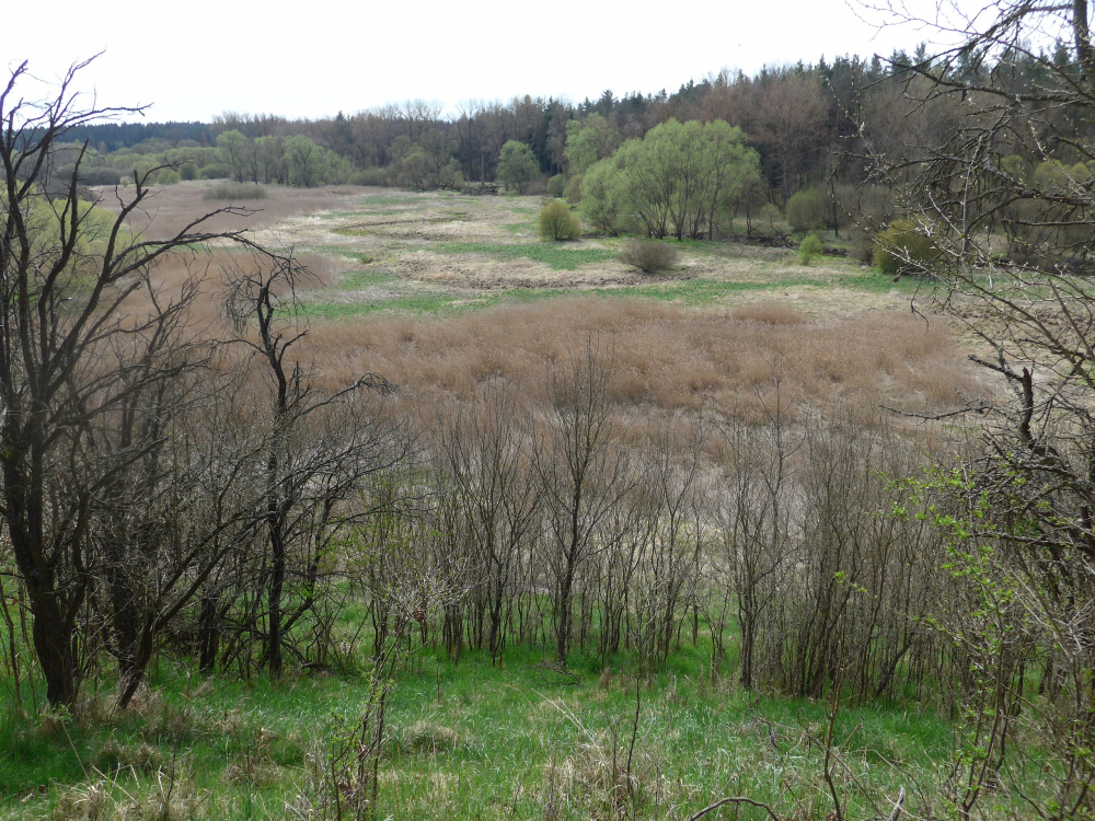
Víte, jaká tajemství skrývá Vitorazsko? Divoké a tajuplné příhraniční území v povodí horní Lužnice je plné pověstí a zajímavých lidských osudů.
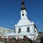
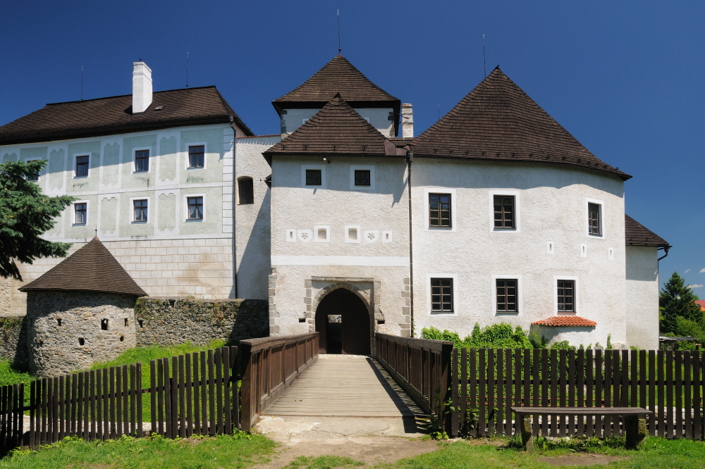
Historicko-naučná cyklostezka, která vás tímto krajem provede, začíná u zámku v Nových Hradech a částečně prochází územím CHKO Třeboňsko a územím Horního Rakouska.
Stezku provozuje Novohradská občanská společnost. Trasa vede po zpevněných komunikacích s asfaltovým povrchem a krátkými úseky lesních cest. Při průjezdu městy Nové Hrady, České Velenice, obcí Suchdol nad Lužnicí a úsekem Jakule - Nové Hrady je třeba opatrnosti kvůli zvýšenému provozu kamionů.
Trasa je značena pomocí tabulek s logem stezky a nástřikem na stromech. Tištěný průvodce je k dostání v Kulturním a informačním centru Nové Hrady.
Cyklotrasa je dlouhá asi 90 kilometrů a je určena pro středně zdatné cyklisty. V průběhu jízdy si můžete odpočinout a zároveň se poučit u 29 panelů, které jsou i na rakouském území v češtině. Na trase stezky se nachází možnosti občerstvení v obcích, kterými se projíždí.
Jiříkovo údolí nese svůj název po zakladateli tamějších skláren doktoru Jiřím Františkovi hraběti Buquoyovi.
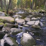
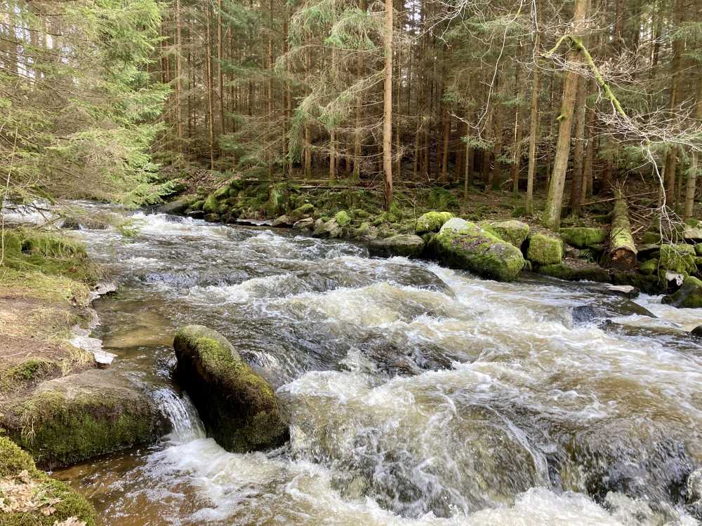
Říčka Dračice se hlubokým zářezem prodírá lesnatým porostem při státní hranici v místech, která byla od konce druhé ...


")